

Description
Summary
Description
Help map the edge of Katla Glacier as a citizen scientist on this private expedition from Vik, on the edge of the Icelandic Highlands.
Because of the scientific work, group sizes are limited, so you get personal guidance and training.
Your day starts with a drive from Vik in a 4x4 vehicle, and your guide tells you about the local geology on the way.
At the edge of the glacier, you get a full safety briefing and an introduction to glacier mapping. You then put on special gear, including crampons, helmets, and ice axes as needed.
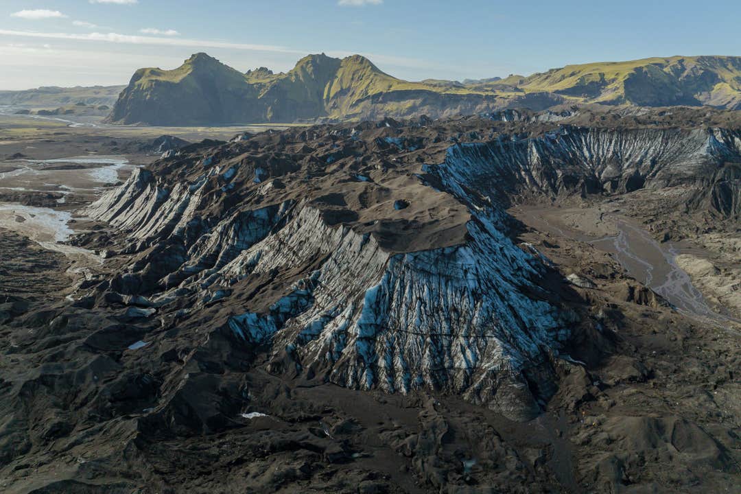
You trek along the bottom edge of the glacier to map how fast it's retreating, and learn about the glacier's history, its current state, and the impact of climate change.
Then you take part in the scientific work, using GPS equipment to measure the glacier's movement and collect other data that researchers need. Your work helps ongoing research and helps monitor the health of this environment.
You stop for lunch with views of the mountains and the ice, so bring a packed lunch.
Throughout the day, your guide explains the geology of Katla Glacier and Katla Geopark and how the areas are connected. After the mapping, you walk back to the 4x4 for the ride out of the Highlands to Vik.
You receive a Citizen Scientist certificate, and your name is published in a report on the Katla Geopark website. The processed results of your mission are emailed to you, and you keep getting data updates by email.
Check availability by choosing a date.